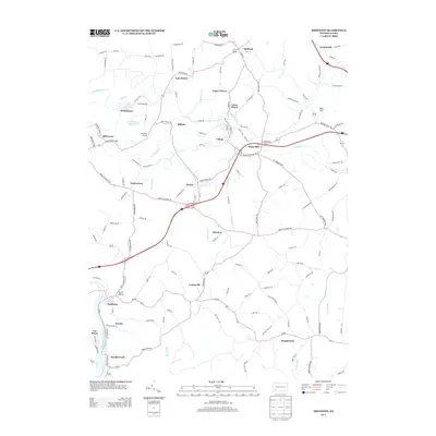
2013 Map of Smithton
USGS Topo · Published 2013About this map
Smithton and the winding course of the Youghiogheny River anchor this 2013 topographic survey of Westmoreland County. The landscape is defined by a dense network of small communities and crossroads that speak to the area’s long history of industry and settlement. Towns like Yukon, Wyano, and Turkeytown are linked by a complex web of rural routes and local connectors, including the Pittsburgh Pike.
Find a feature on this map
131 named features on this map. Tap any name to fly to it.
Don’t see what you’re looking for? This feature index may not catch every label — zoom into the map to look around manually.
Map Details
Editions of this 2013 Smithton Map
This is the sole edition of this map. No revisions or reprints were ever made.
Other maps of this area

1902 · Brownsville
USGS Topo · 1:62,500

1902 · Connellsville
USGS Topo · 1:62,500

1904 · Mc Keesport
USGS Topo · 1:62,500

1904 · Greensburg
USGS Topo · 1:62,500

1906 · Brownsville
USGS Topo · 1:62,500

1906 · Greensburg
USGS Topo · 1:62,500

1907 · Pittsburg
USGS Topo · 1:62,500

1931 · Brownsville
USGS Topo · 1:62,500

1931 · Connellsville
USGS Topo · 1:62,500

1933 · Brownsville
USGS Topo · 1:62,500