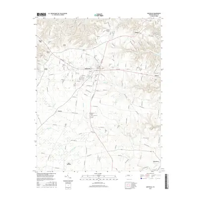
2016 Map of Smithville
USGS Topo · Published 2016About this map
Smithville serves as the central hub of this DeKalb County landscape, where the plateau terrain is deeply carved by drainage systems like Fall Cr and Murphy Br. The town's layout is defined by its core cemeteries and civic landmarks, including the Smithville Town Cem and the nearby Smithville Municipal Airport. The map reveals a dense concentration of family and community burial grounds, such as the DeKalb County Memorial Gardens Whorton Springs Cem and Lockhart Cem, which provide significant data points for genealogical research in this part of Tennessee. Surrounding the main settlement, smaller communities like Watkins, Blue Springs, and Keltonburg are connected by a network of rural roads that trace the ridges and hollows, including Snows Hill and Opossum Hollow, illustrating the enduring settlement patterns of the Highland Rim.
Find a feature on this map
161 named features on this map. Tap any name to fly to it.
Don’t see what you’re looking for? This feature index may not catch every label — zoom into the map to look around manually.
Map Details
Editions of this 2016 Smithville Map
This is the sole edition of this map. No revisions or reprints were ever made.
Other maps of this area

1893 · Mc Minnville
USGS Topo · 1:125,000

1895 · Mc Minnville
USGS Topo · 1:125,000

1928 · Gordonsville
USGS Topo · 1:62,500

1942 · Statesville
USGS Topo · 1:100,000

1943 · Cookeville
USGS Topo · 1:100,000

1944 · Cookeville
USGS Topo · 1:100,000

1953 · Chattanooga
USGS Topo · 1:250,000

1956 · Silver Point
USGS Topo · 1:24,000

1956 · Corbin
USGS Topo · 1:250,000

1957 · Chattanooga
USGS Topo · 1:250,000