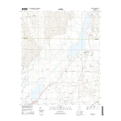
2015 Map of Smithville
USGS Topo · Published 2015About this map
The Tombigbee River corridor defines the landscape of this Northeast Mississippi region, where the massive waters of Pool B dominate the central terrain. The settlement of Smithville sits near the eastern shore, a focal point of local activity alongside smaller communities like Carolina to the north and Flinn to the south. This survey captures a moment in time where the river's engineering meets rural life, illustrated by features such as the Weaver Cutoff and the northern reaches of Amory. Genealogists and local historians can find significant value in the distribution of family-named landmarks and burial sites, including Conwill Cem, New Chapel Cem, and Dunlap Cem. The complex drainage network of Boguefaba Creek and Bull Mountain Creek highlights the wetlands and varied topography that have long shaped land use and road patterns in Monroe and Itawamba Counties.
Find a feature on this map
113 named features on this map. Tap any name to fly to it.
Don’t see what you’re looking for? This feature index may not catch every label — zoom into the map to look around manually.
Map Details
Editions of this 2015 Smithville Map
This is the sole edition of this map. No revisions or reprints were ever made.
Other maps of this area

1953 · West Point
USGS Topo · 1:250,000

1956 · Tupelo
USGS Topo · 1:250,000

1958 · Tupelo
USGS Topo · 1:250,000

1958 · West Point
USGS Topo · 1:250,000

1963 · West Point
USGS Topo · 1:250,000

1966 · Smithville
USGS Topo · 1:24,000

1966 · Beans Ferry
USGS Topo · 1:24,000

1966 · Amory
USGS Topo · 1:24,000

1966 · Turon
USGS Topo · 1:24,000

1966 · Wren
USGS Topo · 1:24,000