
2016 Map of Smoky Creek
USGS Topo · Published 2016About this map
Big Bend National Park dominates the northern reaches of this borderlands survey, where the international boundary follows the winding course of the Rio Grande. The landscape is defined by the sharp transition from the river basin to the limestone uplands of Sierra de Chino and the distinctive peak of Triangulation Station Mtn. Drainage patterns such as Smoky Creek cut through the arid terrain, creating topographical features like Smugglers Canyon that historically provided passage through the high desert. Along the western edge, River Rd W offers the primary overland access through this remote section of Brewster County. This document details the intersection of national park conservation and the active international border during the mid-2010s.
Find a feature on this map
13 named features on this map. Tap any name to fly to it.
Don’t see what you’re looking for? This feature index may not catch every label — zoom into the map to look around manually.
Map Details
Editions of this 2016 Smoky Creek Map
This is the sole edition of this map. No revisions or reprints were ever made.
Other maps of this area

1903 · Chisos Mountains
USGS Topo · 1:125,000

1903 · Terlingua
USGS Topo · 1:125,000

1904 · Terlingua
USGS Topo · 1:125,000

1905 · Chisos Mountains
USGS Topo · 1:125,000

1959 · Emory Peak
USGS Topo · 1:250,000

1965 · Emory Peak
USGS Topo · 1:250,000

1971 · Cerro Castellan
USGS Topo · 1:24,000
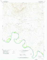
1971 · Reed Camp
USGS Topo · 1:24,000
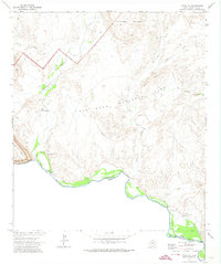
1971 · Castolon
USGS Topo · 1:24,000
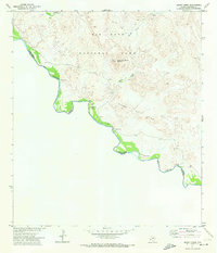
1971 · Smoky Creek
USGS Topo · 1:24,000