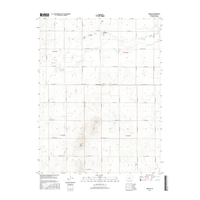
2015 Map of Smolan
USGS Topo · Published 2015About this map
The Smolan community and the small settlement of Salemsborg serve as the primary landmarks in this agricultural region of Saline County. The landscape is defined by the drainage of Middle Dry Cr and W Dry Cr, which move across a grid of section roads including W Salemsborg Rd and W Falun Rd. The terrain rises to the south at the Smoky Hill Buttes, providing a geographic contrast to the surrounding creek valleys.
Find a feature on this map
31 named features on this map. Tap any name to fly to it.
Don’t see what you’re looking for? This feature index may not catch every label — zoom into the map to look around manually.
Map Details
Editions of this 2015 Smolan Map
This is the sole edition of this map. No revisions or reprints were ever made.
Other maps of this area

1892 · Salina
USGS Topo · 1:125,000

1942 · Salina
USGS Topo · 1:125,000

1955 · Salina
USGS Topo · 1:24,000

1955 · Assaria
USGS Topo · 1:24,000

1955 · Salina SW
USGS Topo · 1:24,000

1955 · Smolan
USGS Topo · 1:24,000

1955 · Brookville
USGS Topo · 1:24,000

1955 · Falun
USGS Topo · 1:24,000

1955 · Hutchinson
USGS Topo · 1:250,000

1959 · Hutchinson
USGS Topo · 1:250,000