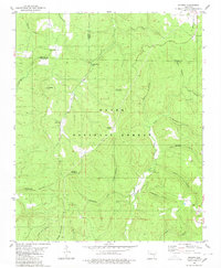
1980 Map of Smyrna
USGS Topo · Published 1980About this map
Ozark National Forest lands cover this segment of the Boston Mountains, where the boundaries of Pope, Newton, and Searcy counties meet. The landscape is defined by deep incisions like Hideout Hollow and Treadwell Hollow, while prominent heights such as Mulberry Mountain and Chinquapin Knob rise above the drainage basins of the Illinois Bayou and Falling Water Creek.
Find a feature on this map
35 named features on this map. Tap any name to fly to it.
Don’t see what you’re looking for? This feature index may not catch every label — zoom into the map to look around manually.
Map Details
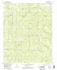
Editions of this 1980 Smyrna Map
2 editions found
Other maps of this area

1879 · Washington
USGS Topo · 1:62,500

1887 · Smyrna
USGS Topo · 1:62,500

1889 · Treat
USGS Topo · 1:62,500

1889 · Marshall #3
USGS Topo · 1:62,500

1892 · Marshall
USGS Topo · 1:125,000

1894 · Marshall
USGS Topo · 1:125,000

1901 · Marshall
USGS Topo · 1:125,000

1932 · Treat
USGS Topo · 1:62,500

1933 · Mt Judea
USGS Topo · 1:62,500

1934 · Treat
USGS Topo · 1:62,500