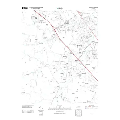
2013 Map of Smyrna
USGS Topo · Published 2013About this map
The rolling landscape of Rutherford and Davidson Counties in 2013 is defined by a dense network of suburban residential developments and prominent geographical high points. Settlements such as Shadowbrook, Oak Valley, and Southern Meadows illustrate the rapid 21st-century growth south of the Nashville area, while the many named "Knobs" such as Sanford Knob, Prewitts Knob, and Grindstone Knob provide a clear topographic sense of the Central Basin.
Find a feature on this map
49 named features on this map. Tap any name to fly to it.
Don’t see what you’re looking for? This feature index may not catch every label — zoom into the map to look around manually.
Map Details
Editions of this 2013 Smyrna Map
This is the sole edition of this map. No revisions or reprints were ever made.
Other maps of this area

1903 · Nashville
USGS Topo · 1:125,000

1916 · Murfreesboro
USGS Topo · 1:62,500

1932 · Hermitage
USGS Topo · 1:62,500

1942 · Lebanon
USGS Topo · 1:100,000

1950 · Walterhill
USGS Topo · 1:24,000

1950 · Murfreesboro
USGS Topo · 1:24,000

1952 · La Vergne
USGS Topo · 1:24,000

1952 · Antioch
USGS Topo · 1:24,000

1956 · Gladeville
USGS Topo · 1:24,000

1956 · Columbia
USGS Topo · 1:250,000