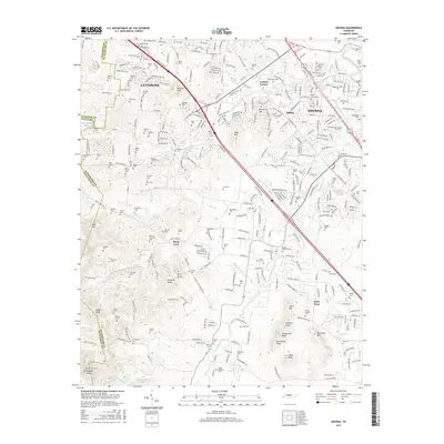
2016 Map of Smyrna
USGS Topo · Published 2016About this map
La Vergne and Smyrna anchor this landscape where suburban development meets the historical family plots of Rutherford County. The area is defined by its numerous small burial grounds, such as the Sam Davis Cem and Mitchell-Moore Cem, which often represent the only remaining traces of early landholdings. The terrain transitions from the lowlands near Stewart Creek to a series of prominent elevations like Sanford Knob and Persimmon Knob in the south.
Find a feature on this map
97 named features on this map. Tap any name to fly to it.
Don’t see what you’re looking for? This feature index may not catch every label — zoom into the map to look around manually.
Map Details
Editions of this 2016 Smyrna Map
This is the sole edition of this map. No revisions or reprints were ever made.
Other maps of this area

1903 · Nashville
USGS Topo · 1:125,000

1916 · Murfreesboro
USGS Topo · 1:62,500

1932 · Hermitage
USGS Topo · 1:62,500

1942 · Lebanon
USGS Topo · 1:100,000

1950 · Walterhill
USGS Topo · 1:24,000

1950 · Murfreesboro
USGS Topo · 1:24,000

1952 · La Vergne
USGS Topo · 1:24,000

1952 · Antioch
USGS Topo · 1:24,000

1956 · Gladeville
USGS Topo · 1:24,000

1956 · Columbia
USGS Topo · 1:250,000