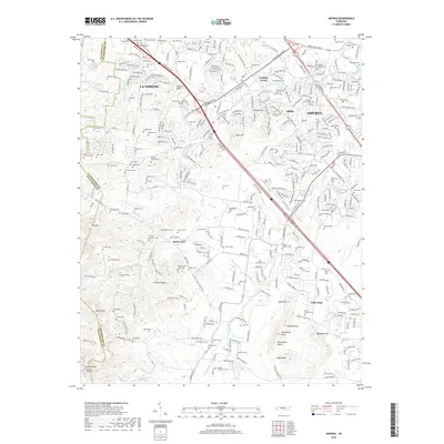
2019 Map of Smyrna
USGS Topo · Published 2019About this map
La Vergne and Smyrna form the core of this landscape, reflecting a period of significant suburban development along the Davidson and Rutherford county line. The map captures a transitional geography where residential subdivisions and industrial corridors like Industrial Blvd increasingly intersect with the region's agricultural roots. This intersection is most visible in the high density of family cemeteries, such as the Sam Davis Cem and Mitchell Moore Cem, which remain preserved even as new streets like Centre Pointe Dr surround them.
Find a feature on this map
328 named features on this map. Tap any name to fly to it.
Don’t see what you’re looking for? This feature index may not catch every label — zoom into the map to look around manually.
Map Details
Editions of this 2019 Smyrna Map
This is the sole edition of this map. No revisions or reprints were ever made.
Other maps of this area

1903 · Nashville
USGS Topo · 1:125,000

1916 · Murfreesboro
USGS Topo · 1:62,500

1932 · Hermitage
USGS Topo · 1:62,500

1942 · Lebanon
USGS Topo · 1:100,000

1950 · Walterhill
USGS Topo · 1:24,000

1950 · Murfreesboro
USGS Topo · 1:24,000

1952 · La Vergne
USGS Topo · 1:24,000

1952 · Antioch
USGS Topo · 1:24,000

1956 · Gladeville
USGS Topo · 1:24,000

1956 · Columbia
USGS Topo · 1:250,000