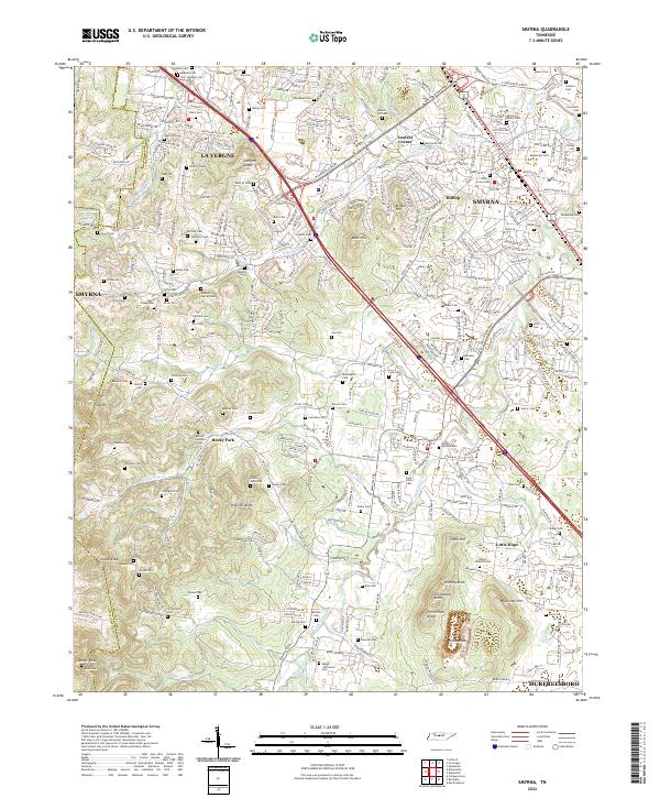
2022 Map of Smyrna
USGS Topo · Published 2022About this map
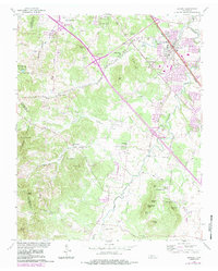
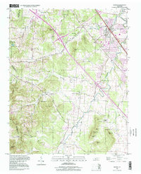
La Vergne and Smyrna anchor this Rutherford County landscape, where modern suburban growth intersects with a dense network of ancestral burial grounds. The map reveals an exceptional concentration of family-named cemeteries, including the Sam Davis Cem, Hill-Roulhac Cem, and Ray-Cooke Cem, providing critical touchstones for genealogists studying the area's early landowning families. The terrain is marked by significant elevations like Sanford Knob and the winding course of Stewart Creek, which flows toward the northern reaches of the quadrangle.
Find a feature on this map
340 named features on this map. Tap any name to fly to it.
Don’t see what you’re looking for? This feature index may not catch every label — zoom into the map to look around manually.
Map Details
Editions of this 2022 Smyrna Map
This is the sole edition of this map. No revisions or reprints were ever made.
Historical Maps of Nashville Through Time
3 maps found