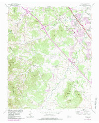
1957 Map of Smyrna
USGS Topo · Published 1984About this map
The town of Smyrna anchors this 1957 survey, showing a landscape defined by the winding course of Stewart Creek and a dense network of family cemeteries and rural institutions. Significant historical markers include the Sam Davis Home Cem and the Rosenwald Sch, reflecting the community's educational and social heritage. The terrain transitions from the developed corridor along the Seaboard railroad and Old Nashville Highway into a more broken landscape to the southwest, marked by a series of prominent rises like Signal Knob and Grindstone Knob.
Find a feature on this map
64 named features on this map. Tap any name to fly to it.
Don’t see what you’re looking for? This feature index may not catch every label — zoom into the map to look around manually.
Map Details
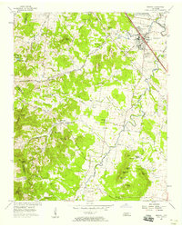
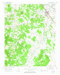
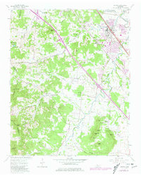
Editions of this 1957 Smyrna Map
4 editions found
Other maps of this area

1903 · Nashville
USGS Topo · 1:125,000

1916 · Murfreesboro
USGS Topo · 1:62,500

1932 · Hermitage
USGS Topo · 1:62,500

1942 · Lebanon
USGS Topo · 1:100,000

1950 · Walterhill
USGS Topo · 1:24,000

1950 · Murfreesboro
USGS Topo · 1:24,000

1952 · La Vergne
USGS Topo · 1:24,000

1952 · Antioch
USGS Topo · 1:24,000

1956 · Gladeville
USGS Topo · 1:24,000

1956 · Columbia
USGS Topo · 1:250,000