Loading...
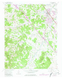
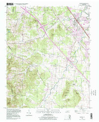
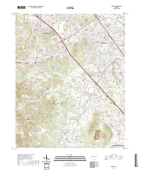
Loading map...1957 Map of Smyrna
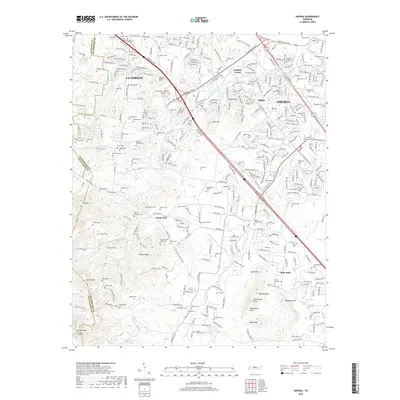
USGS Topo · Published 1980About this map
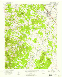
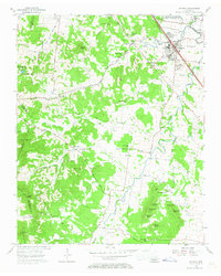
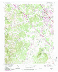
The town of Smyrna and the adjacent US Military Reservation (Sewart Air Force Base) anchor this landscape in Middle Tennessee during the mid-twentieth century. The area is defined by a dense network of family cemeteries and rural congregations, including St Peters Ch, Rock Spring Ch, and the Cedar Grove Ch. The presence of the Louisville and Nashville railroad through the center of town underscores the corridor's importance as a regional transportation hub between Nashville and Murfreesboro.
Find a feature on this map
66 named features on this map. Tap any name to fly to it.
Don’t see what you’re looking for? This feature index may not catch every label — zoom into the map to look around manually.
Map Details
Date Portrayed1957
Date Published1980
PublisherU.S. Geological Survey
Map TypeTopographic
Scale1:24,000
Physical Dimensions22 x 27.5 inches
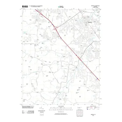
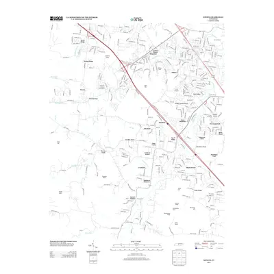
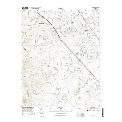
Editions of this 1957 Smyrna Map
4 editions found
Historical Maps of Nashville Through Time
7 maps found
Featured Locations
Source Details
SourceU.S. Geological Survey
CopyrightPublic Domain