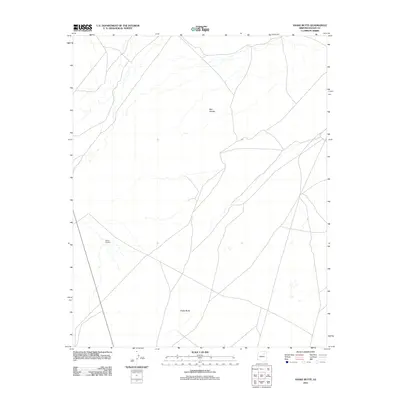
2011 Map of Snake Butte
USGS Topo · Published 2011About this map
Snake Butte rises as a prominent landmark in this desert landscape of Navajo County, which is also defined by the ancestral presence of the Moqui Pueblos. This 2011 survey illustrates a sparse terrain marked primarily by these geological and indigenous features, where the natural topography dictates the few established routes across the high desert. The inclusion of the Red Needle further anchors the map's focus on distinct desert formations that have long served as navigational waypoints in a region where human settlement is concentrated at traditional sites. Researchers will find a clear depiction of the land's character before modern expansion, focusing on these isolated but significant locations.
Find a feature on this map
2 named features on this map. Tap any name to fly to it.
Don’t see what you’re looking for? This feature index may not catch every label — zoom into the map to look around manually.
Map Details
Editions of this 2011 Snake Butte Map
This is the sole edition of this map. No revisions or reprints were ever made.
Other maps of this area

1883 · Tusayan
USGS Topo · 1:250,000

1886 · Tusayan
USGS Topo · 1:250,000

1947 · Flagstaff
USGS Topo · 1:250,000

1954 · Flagstaff
USGS Topo · 1:250,000

1958 · Flagstaff
USGS Topo · 1:250,000

1960 · Flagstaff
USGS Topo · 1:250,000

1962 · Flagstaff
USGS Topo · 1:250,000

1966 · Oraibi
USGS Topo · 1:62,500

1966 · Egloffstein Butte
USGS Topo · 1:62,500

1966 · Tovar Mesa
USGS Topo · 1:62,500