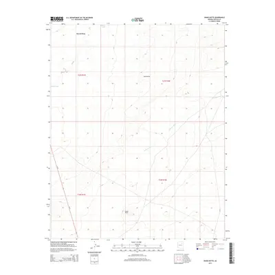
2014 Map of Snake Butte
USGS Topo · Published 2014About this map
Second Mesa dominates the northern skyline of this Navajo County landscape, where the high desert terrain is defined by dramatic geological formations and seasonal watercourses. The prominent summit of Snake Butte stands as a central landmark in the southern reaches of the quadrangle, while Red Needle provides a distinctive point of interest to the north. These arid uplands are bisected by the winding courses of Polacca Wash and Talahogan Wash, which illustrate the natural drainage patterns of the high plateau. Human movement across this vast territory is facilitated by Az-87, a primary transit corridor that cuts through the western sections of the map, and Bia-16 to the east. The map provides a detailed view of the Public Land Survey System boundaries, specifically within the townships of T27N R17E and T27N R18E, showing how the land was partitioned in this part of Arizona.
Find a feature on this map
11 named features on this map. Tap any name to fly to it.
Don’t see what you’re looking for? This feature index may not catch every label — zoom into the map to look around manually.
Map Details
Editions of this 2014 Snake Butte Map
This is the sole edition of this map. No revisions or reprints were ever made.
Other maps of this area

1883 · Tusayan
USGS Topo · 1:250,000

1886 · Tusayan
USGS Topo · 1:250,000

1947 · Flagstaff
USGS Topo · 1:250,000

1954 · Flagstaff
USGS Topo · 1:250,000

1958 · Flagstaff
USGS Topo · 1:250,000

1960 · Flagstaff
USGS Topo · 1:250,000

1962 · Flagstaff
USGS Topo · 1:250,000

1966 · Oraibi
USGS Topo · 1:62,500

1966 · Egloffstein Butte
USGS Topo · 1:62,500

1966 · Tovar Mesa
USGS Topo · 1:62,500