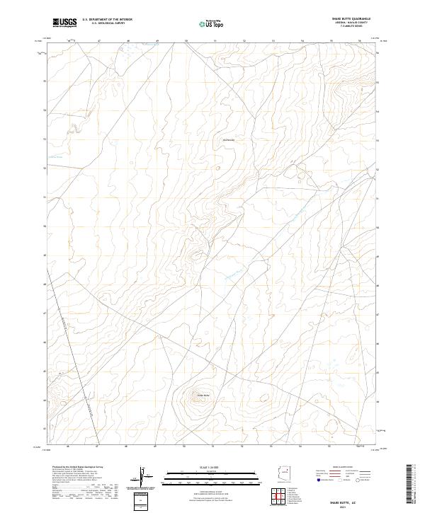
2021 Map of Snake Butte
USGS Topo · Published 2021About this map
Snake Butte and Red Needle rise as the most prominent topographic landmarks in this portion of Navajo County, defining a landscape shaped by significant drainage systems. The intermittent flow of Polacca Wash cuts through the northern sections, while Talahogan Wash trends toward the southeast. These natural corridors have historically influenced movement through this arid region of the Southwest. Modern transit follows these established paths, represented here by the corridor of Rte 15, which passes through the western edge of the quadrangle. The map detail highlights the intersection of ancient natural features and contemporary infrastructure, noted by markers such as Mile Post 399. The township and range divisions, including t27n r17e and t26n r18e, provide the underlying cadastral framework for this part of the high desert.
Find a feature on this map
10 named features on this map. Tap any name to fly to it.
Don’t see what you’re looking for? This feature index may not catch every label — zoom into the map to look around manually.
Map Details
Editions of this 2021 Snake Butte Map
This is the sole edition of this map. No revisions or reprints were ever made.
Other maps of this area

1883 · Tusayan
USGS Topo · 1:250,000

1886 · Tusayan
USGS Topo · 1:250,000

1947 · Flagstaff
USGS Topo · 1:250,000

1954 · Flagstaff
USGS Topo · 1:250,000

1958 · Flagstaff
USGS Topo · 1:250,000

1960 · Flagstaff
USGS Topo · 1:250,000

1962 · Flagstaff
USGS Topo · 1:250,000

1966 · Oraibi
USGS Topo · 1:62,500

1966 · Egloffstein Butte
USGS Topo · 1:62,500

1966 · Tovar Mesa
USGS Topo · 1:62,500