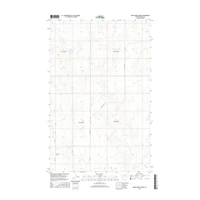
2017 Map of Snake Creek School
USGS Topo · Published 2017About this map
Snake Creek School stands as a focal point in this high-plains landscape of Valley County, where the drainage patterns of the Missouri River watershed define the topography. The map illustrates a remote ranching and agricultural region structured by the Public Land Survey System, with township boundaries like t36n r35e and t36n r36e partitioning the draws and coulees. Water sources are critical identifiers in this arid environment, ranging from the named Tiny Spring to the winding courses of Crow Cr and its E Fork Crow Cr. A network of gravel and local routes, including Hinsdale N Rd and Snake Cr Rd, provides the primary infrastructure connecting these isolated landmarks. The presence of a schoolhouse in such a sparsely populated area speaks to the enduring community structure of rural Montana's cattle country.
Find a feature on this map
16 named features on this map. Tap any name to fly to it.
Don’t see what you’re looking for? This feature index may not catch every label — zoom into the map to look around manually.
Map Details
Editions of this 2017 Snake Creek School Map
This is the sole edition of this map. No revisions or reprints were ever made.
Other maps of this area

1919 · Boundary
USGS Topo · 1:125,000

1954 · Glasgow
USGS Topo · 1:250,000

1957 · Glasgow
USGS Topo · 1:250,000

1958 · Glasgow
USGS Topo · 1:250,000

1984 · Snake Creek School
USGS Topo · 1:24,000

1984 · Black Calf Reservoir
USGS Topo · 1:24,000

1984 · Opheim
USGS Topo · 1:100,000

1984 · Coulter Coulee
USGS Topo · 1:24,000

1984 · Crow Creek Dam
USGS Topo · 1:24,000
1984 · Burnett Creek
USGS Topo · 1:24,000