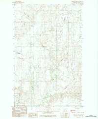
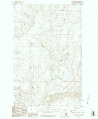
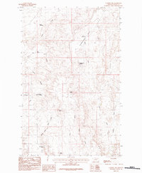
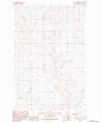
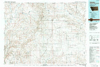
1984 Map of Burnett Creek
USGS Topo · Published 1984About this map
Burnett Creek and its complex network of seasonal drainages define this portion of Valley County as it appeared in the mid-1970s. The landscape is characterized by a series of coulees and creeks that converge as they flow through the northern Great Plains, including Big Sage Creek, Willow Creek, and the uniquely named Badland Coulee. Human modification is sparse but evident at Desert Claim Reservoir and the Collins locality. The intricate topography of the Rock Creek Canyon area in the southwest and the winding path of Jensen Coulee in the northwest reflect a terrain shaped by erosion and water management in an arid environment. This provisional survey captures the distribution of section lines and unimproved roads that served local ranching interests before the era of modern digital mapping.
Find a feature on this map
17 named features on this map. Tap any name to fly to it.
Don’t see what you’re looking for? This feature index may not catch every label — zoom into the map to look around manually.
Map Details
Editions of this 1984 Burnett Creek Map
2 editions found
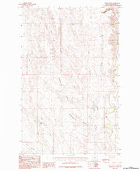
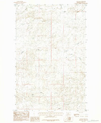
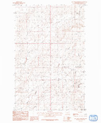
Other maps of this area

1919 · Boundary
USGS Topo · 1:125,000

1954 · Glasgow
USGS Topo · 1:250,000

1957 · Glasgow
USGS Topo · 1:250,000

1958 · Glasgow
USGS Topo · 1:250,000
1984 · Laundry Hill
USGS Topo · 1:24,000
1984 · Snake Creek School
USGS Topo · 1:24,000
1984 · Opheim
USGS Topo · 1:100,000
1984 · Jones Coulee
USGS Topo · 1:24,000
1984 · Gay Dam
USGS Topo · 1:24,000
1984 · Last Chance Reservoir
USGS Topo · 1:24,000