1962 Map of Snelling
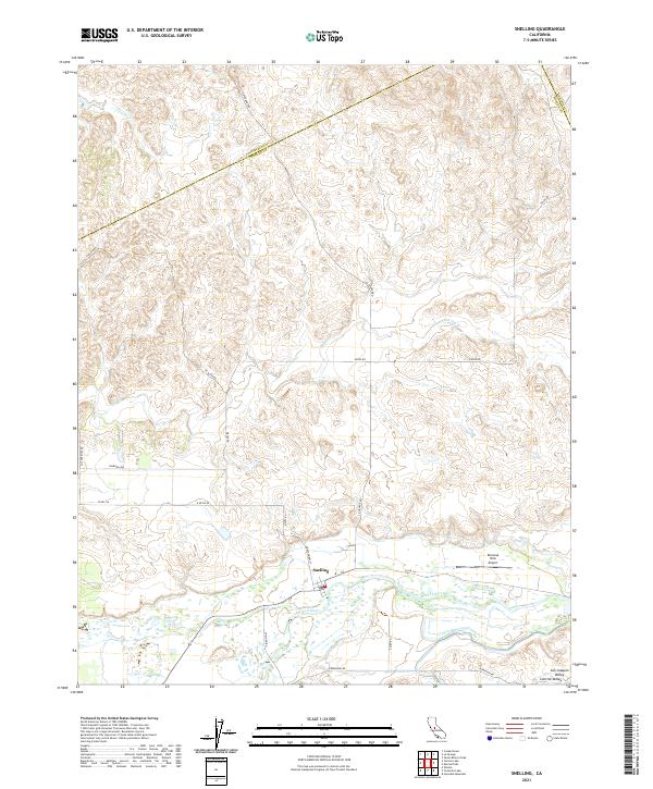
USGS Topo · Published 1980About this map
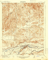
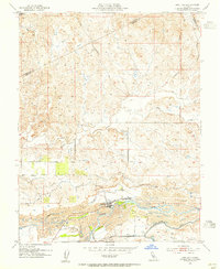
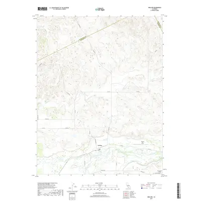
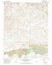
Snelling sits as the primary hub of this landscape, situated just north of the Merced River where the terrain transitions from the dry upland creeks to the fertile river bottom. The map vividly illustrates the industrial history of the valley through the extensive Dredge Tailings and Ingalsbe Dredge Tailings that line the riverbanks, left behind by gold dredging operations. This era of resource extraction is further evidenced by the Old Railroad Grade and numerous water management features including the Diversion Dam, Siphon, and both the North Side Flume and South Side Flume.
Find a feature on this map
35 named features on this map. Tap any name to fly to it.
Don’t see what you’re looking for? This feature index may not catch every label — zoom into the map to look around manually.
Map Details
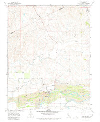
Editions of this 1962 Snelling Map
3 editions found
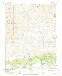
Historical Maps of Snelling Through Time
7 maps found