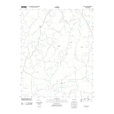
2010 Map of Snow Camp
USGS Topo · Published 2010About this map
Snow Camp serves as the focal point for this section of Alamance County, where the southern Piedmont landscape is defined by the Cane Creek Mountains and the prominent Bass Mountain. The terrain is deeply etched by a network of waterways including Cane Creek, Rock Creek, and Varnals Creek, which dictated the historical placement of essential local infrastructure.
Find a feature on this map
61 named features on this map. Tap any name to fly to it.
Don’t see what you’re looking for? This feature index may not catch every label — zoom into the map to look around manually.
Map Details
Editions of this 2010 Snow Camp Map
This is the sole edition of this map. No revisions or reprints were ever made.
Other maps of this area

1953 · Raleigh
USGS Topo · 1:250,000

1953 · Greensboro
USGS Topo · 1:250,000

1954 · Greensboro
USGS Topo · 1:250,000

1954 · Raleigh
USGS Topo · 1:250,000

1962 · Greensboro
USGS Topo · 1:250,000

1966 · Greensboro
USGS Topo · 1:250,000

1969 · Burlington
USGS Topo · 1:24,000

1969 · Mebane
USGS Topo · 1:24,000

1970 · Gibsonville
USGS Topo · 1:24,000

1970 · Kimesville
USGS Topo · 1:24,000