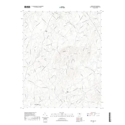
2019 Map of Snow Camp
USGS Topo · Published 2019About this map
Snow Camp anchors this Piedmont landscape, a region defined by its prominent ridgelines and the winding watercourses of the Cane Creek watershed. The terrain is dominated by the Cane Creek Mountains and the distinct peak of Bass Mtn to the east, which overlook a network of rural settlements and family-named homesteads. Small rural communities like Rock Creek and Pleasant Hill are connected by a web of historic routes such as Coble Mill Rd and Pleasant Hill Church Rd, reflecting the area's agricultural roots and mid-century layout.
Find a feature on this map
113 named features on this map. Tap any name to fly to it.
Don’t see what you’re looking for? This feature index may not catch every label — zoom into the map to look around manually.
Map Details
Editions of this 2019 Snow Camp Map
This is the sole edition of this map. No revisions or reprints were ever made.
Other maps of this area

1953 · Raleigh
USGS Topo · 1:250,000

1953 · Greensboro
USGS Topo · 1:250,000

1954 · Greensboro
USGS Topo · 1:250,000

1954 · Raleigh
USGS Topo · 1:250,000

1962 · Greensboro
USGS Topo · 1:250,000

1966 · Greensboro
USGS Topo · 1:250,000

1969 · Burlington
USGS Topo · 1:24,000

1969 · Mebane
USGS Topo · 1:24,000

1970 · Gibsonville
USGS Topo · 1:24,000

1970 · Kimesville
USGS Topo · 1:24,000