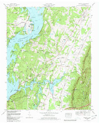
1980 Map of Snow Hill
USGS Topo · Published 1980About this map
Chickamauga Lake and the winding Tennessee River dominate this landscape, which in 1980 was undergoing significant industrial and residential changes. The Sequoyah Nuclear Plant appears in its construction phase along the western shore, marked by its massive cooling towers and meteorological tower. This era of development is juxtaposed with the deep-rooted rural character of the Hamilton County and Bradley County line, where family history is preserved in dozens of small burial grounds like Old Penney Cem and Roddy-Yarnell Cem.
Find a feature on this map
95 named features on this map. Tap any name to fly to it.
Don’t see what you’re looking for? This feature index may not catch every label — zoom into the map to look around manually.
Map Details
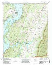
Editions of this 1980 Snow Hill Map
2 editions found
Other maps of this area

1886 · Cleveland
USGS Topo · 1:125,000

1888 · Chattanooga
USGS Topo · 1:125,000

1892 · Cleveland
USGS Topo · 1:125,000

1893 · Chattanooga
USGS Topo · 1:125,000

1895 · Cleveland
USGS Topo · 1:125,000

1901 · Cleveland
USGS Topo · 1:125,000

1935 · East Chattanooga
USGS Topo · 1:24,000

1935 · Daisy
USGS Topo · 1:24,000

1935 · Mc Donald
USGS Topo · 1:24,000

1935 · Soddy
USGS Topo · 1:24,000