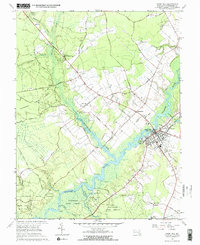
1966 Map of Snow Hill
USGS Topo · Published 1968About this map
The Pocomoke River defines the landscape of this Maryland Eastern Shore region, winding past the county seat of Snow Hill and through the extensive Pocomoke State Forest. In the mid-1960s, the river remained a central artery, supported by a network of landings such as Red Landing, Drexell Landing, and Mattaponi Landing. The map illustrates the area's transition from the dense woods of Pocomoke State Park to the agricultural plots surrounding outlying settlements like Indiantown and Scarboro.
Find a feature on this map
56 named features on this map. Tap any name to fly to it.
Don’t see what you’re looking for? This feature index may not catch every label — zoom into the map to look around manually.
Map Details
Editions of this 1966 Snow Hill Map
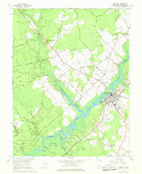
2 editions found
Other maps of this area

1901 · Snow Hill
USGS Topo · 1:62,500

1901 · Salisbury
USGS Topo · 1:62,500

1902 · Pittsville
USGS Topo · 1:62,500

1942 · Ninepin
USGS Topo · 1:24,000

1942 · Snow Hill
USGS Topo · 1:24,000

1942 · Wango
USGS Topo · 1:24,000

1942 · Wesley
USGS Topo · 1:24,000

1942 · Dividing Creek
USGS Topo · 1:24,000

1942 · Salisbury
USGS Topo · 1:24,000

1943 · Snow Hill
USGS Topo · 1:31,680