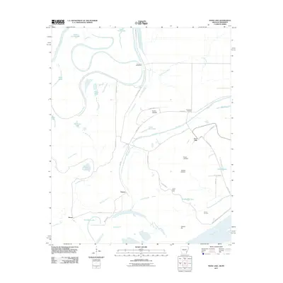
2011 Map of Snow Lake
USGS Topo · Published 2011About this map
The Mississippi River and White River converge in this low-lying riverine landscape, where the alluvial plain is defined by backwaters, bayous, and large dry lakebeds. The settlement of Snow Lake sits near the levee systems that protect this flood-prone delta region, including the notable Laconia Circle Levee. These engineering works highlight the ongoing battle to manage the massive water volumes of the Mississippi, which creates features like the Henrico Bar and the deep Graddy Blue Hole.
Find a feature on this map
42 named features on this map. Tap any name to fly to it.
Don’t see what you’re looking for? This feature index may not catch every label — zoom into the map to look around manually.
Map Details
Editions of this 2011 Snow Lake Map
This is the sole edition of this map. No revisions or reprints were ever made.
Other maps of this area

1930 · Mellwood
USGS Topo · 1:62,500

1939 · Henrico
USGS Topo · 1:62,500

1939 · Pace
USGS Topo · 1:62,500

1939 · Big Island
USGS Topo · 1:62,500

1939 · Mellwood
USGS Topo · 1:62,500

1948 · Helena
USGS Topo · 1:250,000

1950 · Helena
USGS Topo · 1:250,000

1953 · Greenwood
USGS Topo · 1:250,000

1954 · Mellwood
USGS Topo · 1:62,500

1954 · Henrico
USGS Topo · 1:62,500