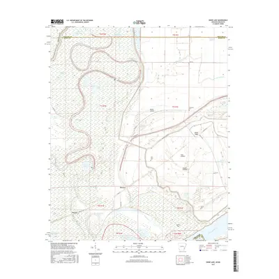
2017 Map of Snow Lake
USGS Topo · Published 2017About this map
The Mississippi River creates a dynamic border for this delta landscape, defining the oxbows and alluvial plains of Snow Lake and its surrounding wetlands. This 2017 study illustrates a region defined by its hydrography, where former river channels have transitioned into features like Brushy Lakebed and Snow Lakebed. The topography is dominated by these relic water bodies, including Half Moon Lake, Big Round Lake, and the expansive Alligator Lake, which together tell a story of the river's historic migration across the basin.
Find a feature on this map
54 named features on this map. Tap any name to fly to it.
Don’t see what you’re looking for? This feature index may not catch every label — zoom into the map to look around manually.
Map Details
Editions of this 2017 Snow Lake Map
This is the sole edition of this map. No revisions or reprints were ever made.
Other maps of this area

1930 · Mellwood
USGS Topo · 1:62,500

1939 · Henrico
USGS Topo · 1:62,500

1939 · Pace
USGS Topo · 1:62,500

1939 · Big Island
USGS Topo · 1:62,500

1939 · Mellwood
USGS Topo · 1:62,500

1948 · Helena
USGS Topo · 1:250,000

1950 · Helena
USGS Topo · 1:250,000

1953 · Greenwood
USGS Topo · 1:250,000

1954 · Mellwood
USGS Topo · 1:62,500

1954 · Henrico
USGS Topo · 1:62,500