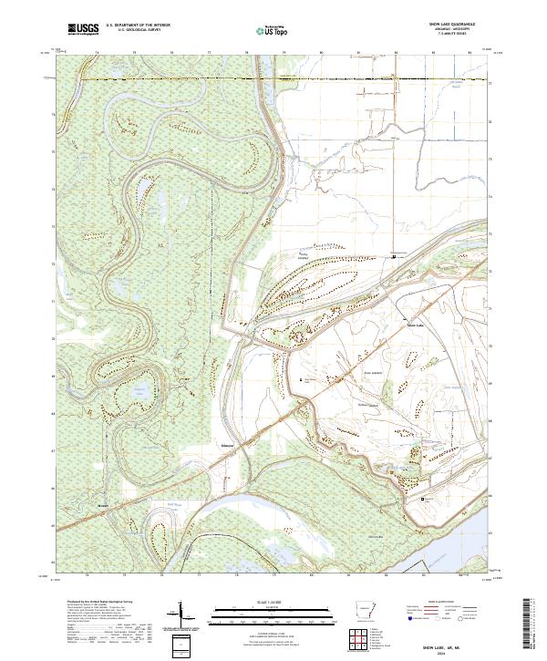
2024 Map of Snow Lake
USGS Topo · Published 2024About this map
The White River and Mississippi River converge in this delta landscape, defining the borders of Arkansas, Desha, and Phillips counties. Much of the western terrain is protected within the Dale Bumpers White River National Wildlife Refuge, a dense network of oxbows and bayous including Big Round Lake and Scrubgrass Bayou. The human footprint is most evident along the eastern levee system near the settlement of Snow Lake, where agricultural drainage and flood control have created distinctive landforms like the Snow Lakebed and Tarblue Lakebed.
Find a feature on this map
52 named features on this map. Tap any name to fly to it.
Don’t see what you’re looking for? This feature index may not catch every label — zoom into the map to look around manually.
Map Details
Editions of this 2024 Snow Lake Map
This is the sole edition of this map. No revisions or reprints were ever made.
Other maps of this area

1930 · Mellwood
USGS Topo · 1:62,500

1939 · Henrico
USGS Topo · 1:62,500

1939 · Pace
USGS Topo · 1:62,500

1939 · Big Island
USGS Topo · 1:62,500

1939 · Mellwood
USGS Topo · 1:62,500

1948 · Helena
USGS Topo · 1:250,000

1950 · Helena
USGS Topo · 1:250,000

1953 · Greenwood
USGS Topo · 1:250,000

1954 · Mellwood
USGS Topo · 1:62,500

1954 · Henrico
USGS Topo · 1:62,500