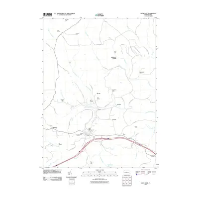
2010 Map of Snow Shoe
USGS Topo · Published 2010About this map
Snow Shoe serves as the focal point of this Pennsylvania landscape, where the intersection of Interstate 80 and Pennsylvania Route 144 defines the modern infrastructure. The settlement pattern reflects a deeply rooted community history, notably at Clarence and the neighboring residential areas of Old Side and Poorman Side. Local heritage is preserved in several burial grounds, including Saint Marys Cemetery, Saint Michaels Cemetery, and Askey Cemetery near Gillintown.
Find a feature on this map
79 named features on this map. Tap any name to fly to it.
Don’t see what you’re looking for? This feature index may not catch every label — zoom into the map to look around manually.
Map Details
Editions of this 2010 Snow Shoe Map
This is the sole edition of this map. No revisions or reprints were ever made.
Other maps of this area

1908 · Bellefonte
USGS Topo · 1:62,500

1909 · Bellefonte
USGS Topo · 1:62,500

1922 · Philipsburg
USGS Topo · 1:62,500

1928 · Snow Shoe
USGS Topo · 1:48,000

1929 · Karthaus
USGS Topo · 1:62,500

1931 · Show Shoe
USGS Topo · 1:62,500

1932 · Karthaus
USGS Topo · 1:62,500

1939 · Philipsburg
USGS Topo · 1:62,500

1943 · Lewistown
USGS Topo · 1:125,000

1945 · Philipsburg
USGS Topo · 1:62,500