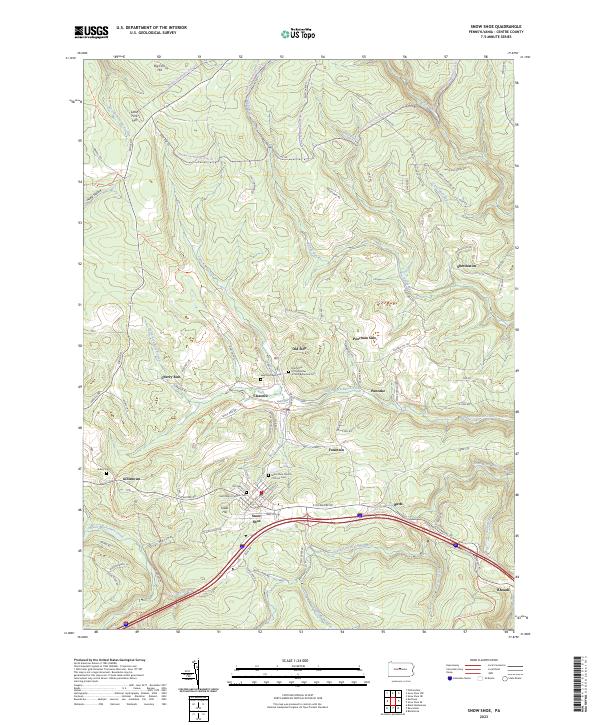
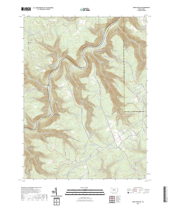
2023 Map of Snow Shoe
USGS Topo · Published 2023About this map
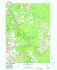
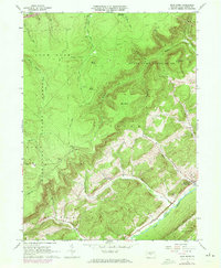
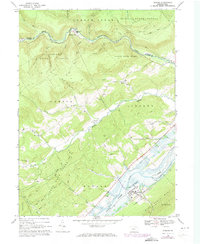
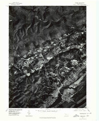
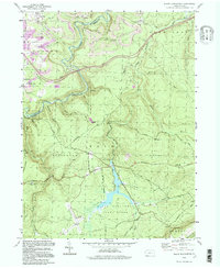
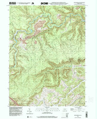
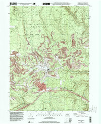
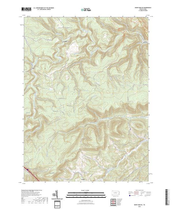
Snow Shoe serves as the focal point of this Centre County landscape, situated where the high ridges of the Allegheny Front meet the drainage basins of the Beech Creek system. The area is characterized by a network of specialized routes, including the Panther Snowmobile Trails Trl, which navigate the complex topography around Big Fork Hill and Little Fork Hill. Settlement patterns here are distinctively clustered, with neighborhoods like Old Side and Poorman Side suggesting a lineage tied to the region’s coal mining and industrial past.
Find a feature on this map
102 named features on this map. Tap any name to fly to it.
Don’t see what you’re looking for? This feature index may not catch every label — zoom into the map to look around manually.
Map Details
Editions of this 2023 Snow Shoe Map
This is the sole edition of this map. No revisions or reprints were ever made.
Historical Maps of Pancake Through Time
21 maps found
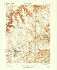
1928 Snow Shoe
Centre County, PA
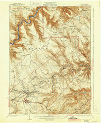
1931 Snow Shoe
Centre County, PA
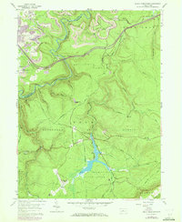
1959 Black Moshannon
Centre County, PA
1959 Karthaus
Centre County, PA
1960 Snow Shoe
Centre County, PA
1960 Snow Shoe NW
Centre County, PA
1960 Snow Shoe SE
Centre County, PA
1962 Bear Knob
Centre County, PA
1967 Howard
Centre County, PA
1977 Howard
Centre County, PA
1994 Black Moshannon
Centre County, PA
1995 Snow Shoe SE
Centre County, PA
1996 Snow Shoe
Centre County, PA
1998 Bear Knob
Centre County, PA
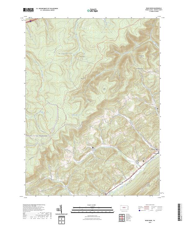
2023 Bear Knob
Centre County, PA
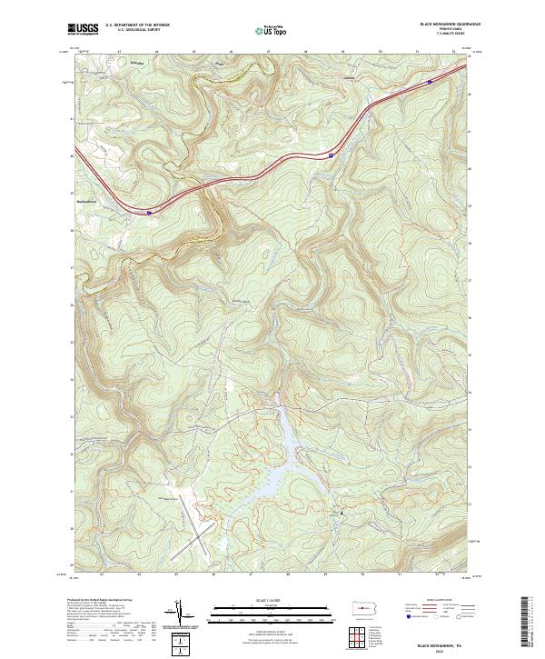
2023 Black Moshannon
Centre County, PA
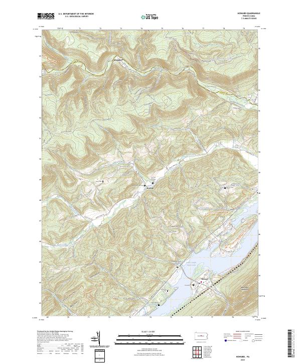
2023 Howard
Centre County, PA
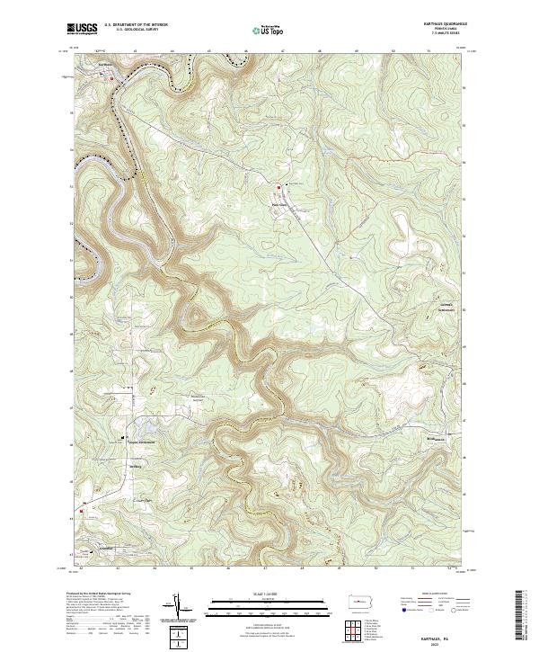
2023 Karthaus
Centre County, PA
2023 Snow Shoe
Centre County, PA
2023 Snow Shoe NW
Centre County, PA
2023 Snow Shoe SE
Centre County, PA