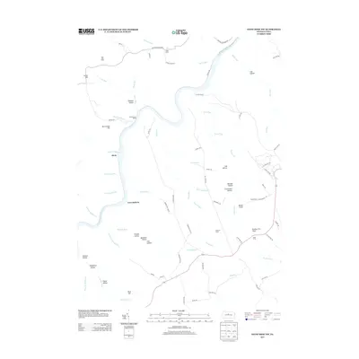
2013 Map of Snow Shoe NW
USGS Topo · Published 2013About this map
The West Br Susquehanna River carves a deep path through this section of Clinton County, defining the local geography as it flows past the small settlement of Birch and the riverfront area of Twin Hollows. The landscape is dominated by narrow runs and hollows, such as Delaney Hollow and Log Hollow, which have historically dictated the placement of hunting and forestry camps. Remote outposts like Camp Miller, West View Camp, and State Camp are connected by a network of specialized routes including Keating Mountain Rd and the Wolf Run Trl.
Find a feature on this map
84 named features on this map. Tap any name to fly to it.
Don’t see what you’re looking for? This feature index may not catch every label — zoom into the map to look around manually.
Map Details
Editions of this 2013 Snow Shoe NW Map
This is the sole edition of this map. No revisions or reprints were ever made.
Other maps of this area
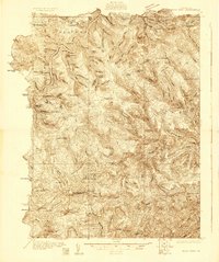
1928 · Snow Shoe
USGS Topo · 1:48,000
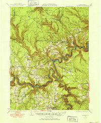
1929 · Karthaus
USGS Topo · 1:62,500
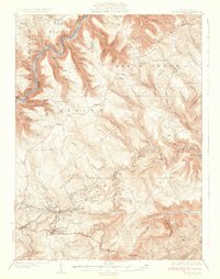
1931 · Show Shoe
USGS Topo · 1:62,500
1932 · Karthaus
USGS Topo · 1:62,500
1945 · Driftwood
USGS Topo · 1:48,000
1945 · Sinnemahoning
USGS Topo · 1:24,000
1946 · Renovo West
USGS Topo · 1:62,500
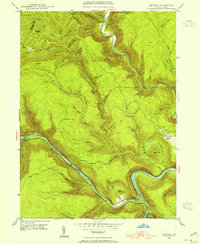
1946 · Keating
USGS Topo · 1:24,000
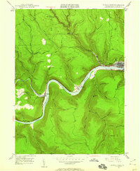
1946 · Renovo West
USGS Topo · 1:24,000
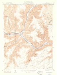
1947 · Sinnemahoning
USGS Topo · 1:24,000
Featured Places
- East Keating Township, PA
- West Keating Township, PA
- Twin Hollows, PA
- Burnside Township, PA
- Snow Shoe Township, PA