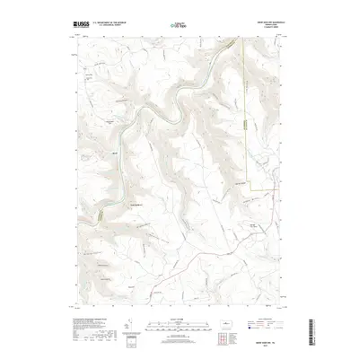
2019 Map of Snow Shoe NW
USGS Topo · Published 2019About this map
The West Branch Susquehanna River cuts a deep, winding path through the borderlands of Clinton and Centre counties, shaping a landscape dominated by steep hollows and high ridges. Small settlements like Nelsonville and Birch are established along the higher elevations and river bends, with the Nelsonville Cem serving as a primary genealogical landmark for the area near Keating Mountain. This 2019 survey documents a region largely defined by its natural drainage systems, including the First Fork and Second Fork of Burns Run, and the network of fire roads and trails that traverse the heights.
Find a feature on this map
83 named features on this map. Tap any name to fly to it.
Don’t see what you’re looking for? This feature index may not catch every label — zoom into the map to look around manually.
Map Details
Editions of this 2019 Snow Shoe NW Map
This is the sole edition of this map. No revisions or reprints were ever made.
Other maps of this area

1928 · Snow Shoe
USGS Topo · 1:48,000

1929 · Karthaus
USGS Topo · 1:62,500

1931 · Show Shoe
USGS Topo · 1:62,500

1932 · Karthaus
USGS Topo · 1:62,500

1945 · Driftwood
USGS Topo · 1:48,000

1945 · Sinnemahoning
USGS Topo · 1:24,000

1946 · Renovo West
USGS Topo · 1:62,500

1946 · Keating
USGS Topo · 1:24,000

1946 · Renovo West
USGS Topo · 1:24,000

1947 · Sinnemahoning
USGS Topo · 1:24,000
Featured Places
- East Keating Township, PA
- West Keating Township, PA
- Twin Hollows, PA
- Burnside Township, PA
- Snow Shoe Township, PA