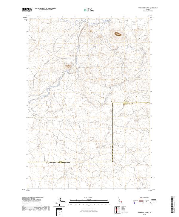
2023 Map of Snowshoe Butte
USGS Topo · Published 2023About this map
Snowshoe Butte rises as a central landmark in this high-altitude landscape where the borders of Clark and Fremont counties meet. The terrain is defined by drainage patterns and ridgelines, most notably Camas Creek, which flows through the northern sections of the map. Access to this isolated country is provided by a network of unpaved routes including Jacoby Rd and Gravy Ridge Rd, which trace the contours of the land rather than a strict grid. The map reveals a transition from the elevated height of Chicken Ridge to the lower basins, illustrating the open-range character of eastern Idaho. This survey is particularly useful for understanding the exact placement of township and range boundaries across this sparsely populated volcanic plain.
Find a feature on this map
12 named features on this map. Tap any name to fly to it.
Don’t see what you’re looking for? This feature index may not catch every label — zoom into the map to look around manually.
Map Details
Editions of this 2023 Snowshoe Butte Map
This is the sole edition of this map. No revisions or reprints were ever made.
Other maps of this area

1955 · Dubois
USGS Topo · 1:250,000

1955 · Ashton
USGS Topo · 1:250,000

1958 · Dubois
USGS Topo · 1:250,000

1958 · Ashton
USGS Topo · 1:250,000

1960 · Ashton
USGS Topo · 1:250,000

1964 · Dubois NE
USGS Topo · 1:24,000
1964 · Dubois SE
USGS Topo · 1:24,000

1972 · Pine Butte
USGS Topo · 1:24,000
1972 · Split Rock
USGS Topo · 1:24,000
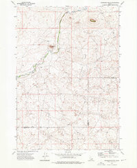
1972 · Snowshoe Butte
USGS Topo · 1:24,000