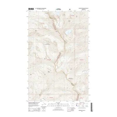
2014 Map of Snowshoe Peak
USGS Topo · Published 2014About this map
Snowshoe Peak dominates this high-altitude landscape where the Kanisku National Forest and Kootenai National Forest converge along the crest of the Cabinet Mountains. This 2014 survey captures the glaciated character of the range, most notably marked by the Blackwell Glacier and a series of alpine water bodies including Leigh Lake and Snowshoe Lake. The topography is defined by sharp ridges and significant vertical relief, with named features such as Vimy Ridge, Flavel Ridge, and Goat Rocks providing clear landmarks for navigation through the wilderness.
Find a feature on this map
47 named features on this map. Tap any name to fly to it.
Don’t see what you’re looking for? This feature index may not catch every label — zoom into the map to look around manually.
Map Details
Editions of this 2014 Snowshoe Peak Map
This is the sole edition of this map. No revisions or reprints were ever made.
Other maps of this area

1920 · Libby
USGS Topo · 1:125,000

1930 · Libby
USGS Topo · 1:125,000

1932 · Libby
USGS Topo · 1:125,000

1957 · Kalispell
USGS Topo · 1:250,000

1960 · Kalispell
USGS Topo · 1:250,000

1961 · Kalispell
USGS Topo · 1:250,000

1963 · Treasure Mountain
USGS Topo · 1:24,000
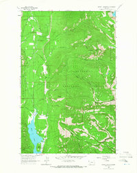
1963 · Crowell Mountain
USGS Topo · 1:24,000
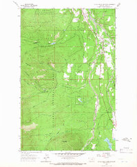
1963 · Little Hoodoo Mountain
USGS Topo · 1:24,000
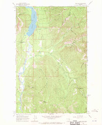
1966 · Ibex Peak
USGS Topo · 1:24,000