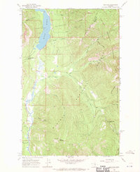
1966 Map of Ibex Peak
USGS Topo · Published 1970About this map
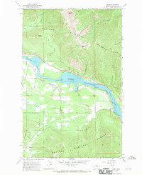
The Cabinet Mountains Wilderness dominates the eastern landscape of this 1966 survey, where the peaks of Ibex Peak and the pass at Snake Creek Pass transition into the drainages of the Kootenai National Forest. To the west, the Bull Lake basin and the Bull River corridor provide the primary artery for travel, centered on the Bull Lake Road. This area marks a significant boundary point where Lincoln and Sanders counties meet amidst a network of pack trails and mountain gulches. Human presence is concentrated near the water, evidenced by the Bull Lake Campground and a Lookout Tower atop Berray Mountain. The map captures the interface between managed timberlands and protected wilderness, documenting the essential hydrology of creeks like Payne Creek and Noggle Creek that feed the river system before it flows south through the Kaniksu National Forest.
Find a feature on this map
27 named features on this map. Tap any name to fly to it.
Don’t see what you’re looking for? This feature index may not catch every label — zoom into the map to look around manually.
Map Details
Editions of this 1966 Ibex Peak Map
2 editions found
Other maps of this area

1920 · Libby
USGS Topo · 1:125,000

1930 · Libby
USGS Topo · 1:125,000

1932 · Libby
USGS Topo · 1:125,000

1957 · Kalispell
USGS Topo · 1:250,000

1960 · Kalispell
USGS Topo · 1:250,000

1961 · Kalispell
USGS Topo · 1:250,000
1963 · Spar Lake
USGS Topo · 1:24,000

1963 · Treasure Mountain
USGS Topo · 1:24,000
1963 · Crowell Mountain
USGS Topo · 1:24,000
1966 · Heron
USGS Topo · 1:24,000