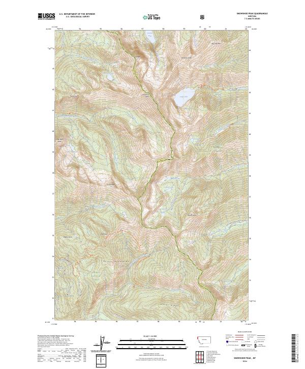
2024 Map of Snowshoe Peak
USGS Topo · Published 2024About this map
The Cabinet Mountains Wilderness dominates this high-altitude landscape, where the Lincoln Co Sanders Co boundary follows the sharp alpine divide. This territory is defined by its glacial cirques and high-elevation basins, most notably the deep waters of Leigh Lake and the smaller Snowshoe Lakes. The drainage network is complex, with the North Fork Bull River and its tributaries such as Ibex Creek and Chippewa Creek carving steep valleys away from the central massif. Human passage through this protected wilderness is traced by an extensive network of specialized paths, including the Snowshoe Pipeline Trl and the Leigh Lake Trl. High summits such as Snowshoe Peak, Bockman Peak, and the simply named A Peak provide the primary landmarks for this portion of the Kootenai National Forest and Kaniksu National Forest.
Find a feature on this map
76 named features on this map. Tap any name to fly to it.
Don’t see what you’re looking for? This feature index may not catch every label — zoom into the map to look around manually.
Map Details
Editions of this 2024 Snowshoe Peak Map
This is the sole edition of this map. No revisions or reprints were ever made.
Other maps of this area

1920 · Libby
USGS Topo · 1:125,000

1930 · Libby
USGS Topo · 1:125,000

1932 · Libby
USGS Topo · 1:125,000

1957 · Kalispell
USGS Topo · 1:250,000

1960 · Kalispell
USGS Topo · 1:250,000

1961 · Kalispell
USGS Topo · 1:250,000

1963 · Treasure Mountain
USGS Topo · 1:24,000
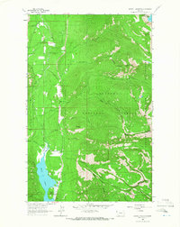
1963 · Crowell Mountain
USGS Topo · 1:24,000
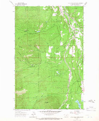
1963 · Little Hoodoo Mountain
USGS Topo · 1:24,000
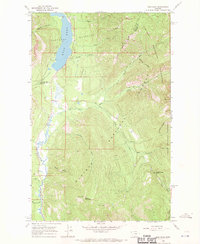
1966 · Ibex Peak
USGS Topo · 1:24,000