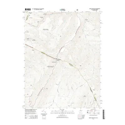
2014 Map of Snowy Mountain
USGS Topo · Published 2014About this map
Snowy Mtn stands as a prominent landmark along the jagged border of West Virginia and Virginia, anchoring a landscape defined by steep ridges and deep hollows. The boundary between Pendleton and Highland counties follows the crest of these high divides, passing through the settlement of Hardscrabble. This terrain dictated the winding paths of rural infrastructure, such as Hardscrabble Rd and Wimer Mountain Rd, which snake through the high country. In the southern reaches, the Blue Grass Cem near the state line provides a focal point for genealogical interest.
Find a feature on this map
60 named features on this map. Tap any name to fly to it.
Don’t see what you’re looking for? This feature index may not catch every label — zoom into the map to look around manually.
Map Details
Editions of this 2014 Snowy Mountain Map
This is the sole edition of this map. No revisions or reprints were ever made.
Other maps of this area

1889 · Beverly
USGS Topo · 1:125,000

1892 · Beverly
USGS Topo · 1:125,000

1892 · Franklin
USGS Topo · 1:125,000

1894 · Staunton
USGS Topo · 1:125,000

1896 · Franklin
USGS Topo · 1:125,000

1901 · Monterey
USGS Topo · 1:125,000

1922 · Spruce Knob
USGS Topo · 1:48,000

1922 · Circleville
USGS Topo · 1:62,500

1924 · Circleville
USGS Topo · 1:48,000

1924 · Mc Dowell
USGS Topo · 1:62,500