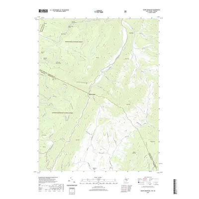
2019 Map of Snowy Mountain
USGS Topo · Published 2019About this map
Monongahela National Forest and George Washington National Forest meet along the high ridges of the Allegheny Mountains in this 2019 survey. The landscape is defined by the sharp divide of the West Virginia and Virginia state line, where the North Fork South Branch Potomac River flows through a narrow corridor between Big Mtn and River Hill. This region is characterized by isolated settlements like Hardscrabble and the high-elevation pastures of Bluegrass Valley.
Find a feature on this map
70 named features on this map. Tap any name to fly to it.
Don’t see what you’re looking for? This feature index may not catch every label — zoom into the map to look around manually.
Map Details
Editions of this 2019 Snowy Mountain Map
This is the sole edition of this map. No revisions or reprints were ever made.
Other maps of this area

1889 · Beverly
USGS Topo · 1:125,000

1892 · Beverly
USGS Topo · 1:125,000

1892 · Franklin
USGS Topo · 1:125,000

1894 · Staunton
USGS Topo · 1:125,000

1896 · Franklin
USGS Topo · 1:125,000

1901 · Monterey
USGS Topo · 1:125,000

1922 · Spruce Knob
USGS Topo · 1:48,000

1922 · Circleville
USGS Topo · 1:62,500

1924 · Circleville
USGS Topo · 1:48,000

1924 · Mc Dowell
USGS Topo · 1:62,500