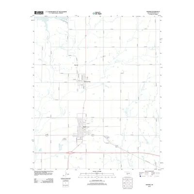
2012 Map of Snyder
USGS Topo · Published 2012About this map
Snyder serves as the central hub of this Kiowa County landscape, organized along a traditional grid of streets like 4th St and Main St. To the north, the settlement of Mountain Park sits near the eastern banks of E Otter Cr, while the small community of Svoboda occupies the agricultural lands further north. The geography is defined by the convergence of several waterways, including W Otter Cr and the W Fork Deep Red Cr, which flow toward the southern plains.
Find a feature on this map
56 named features on this map. Tap any name to fly to it.
Don’t see what you’re looking for? This feature index may not catch every label — zoom into the map to look around manually.
Map Details
Editions of this 2012 Snyder Map
This is the sole edition of this map. No revisions or reprints were ever made.
Other maps of this area

1949 · Cooperton
USGS Topo · 1:62,500

1950 · Snyder
USGS Topo · 1:62,500

1955 · Lawton
USGS Topo · 1:250,000

1956 · Glen Mountains
USGS Topo · 1:24,000

1956 · Cooperton
USGS Topo · 1:24,000

1956 · Odetta
USGS Topo · 1:24,000

1956 · Manitou
USGS Topo · 1:24,000

1956 · Snyder
USGS Topo · 1:24,000

1956 · Indiahoma
USGS Topo · 1:24,000

1956 · Snyder
USGS Topo · 1:62,500