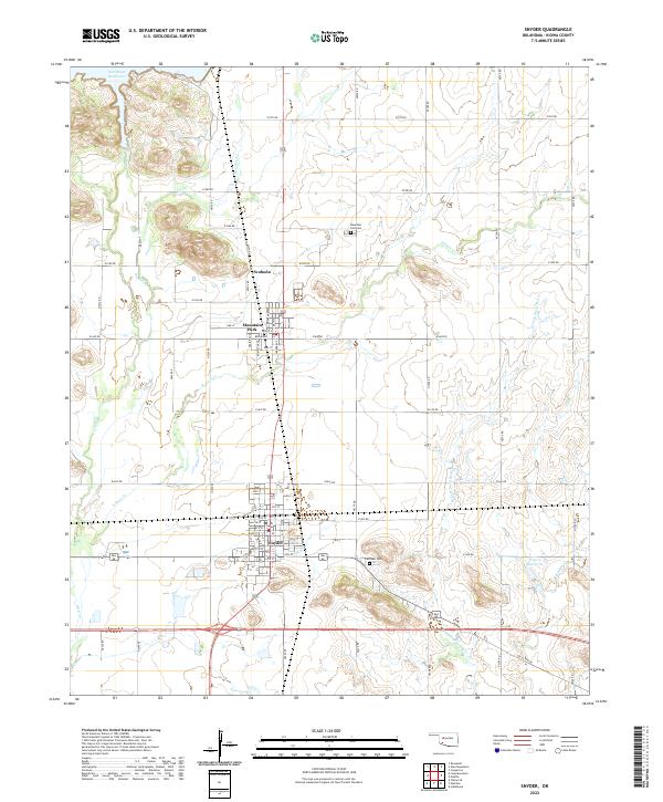
2022 Map of Snyder
USGS Topo · Published 2022About this map
The city of Snyder serves as the primary hub in this southwestern Oklahoma landscape, defined by its grid of numbered streets and its position north of Old US Hwy 62. Just to the north, the smaller community of Mountain Park sits near the small settlement of Svoboda, illustrating the localized clusters of residency in Kiowa County. The terrain is marked by significant hydrological features including the southern edge of Tom Steed Reservoir and the winding paths of W Otter Cr and E Otter Cr.
Find a feature on this map
42 named features on this map. Tap any name to fly to it.
Don’t see what you’re looking for? This feature index may not catch every label — zoom into the map to look around manually.
Map Details
Editions of this 2022 Snyder Map
This is the sole edition of this map. No revisions or reprints were ever made.
Other maps of this area

1949 · Cooperton
USGS Topo · 1:62,500

1950 · Snyder
USGS Topo · 1:62,500

1955 · Lawton
USGS Topo · 1:250,000

1956 · Glen Mountains
USGS Topo · 1:24,000

1956 · Cooperton
USGS Topo · 1:24,000

1956 · Odetta
USGS Topo · 1:24,000

1956 · Manitou
USGS Topo · 1:24,000

1956 · Snyder
USGS Topo · 1:24,000

1956 · Indiahoma
USGS Topo · 1:24,000

1956 · Snyder
USGS Topo · 1:62,500