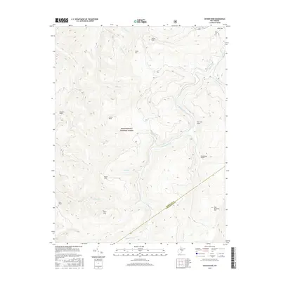
2016 Map of Snyder Knob
USGS Topo · Published 2016About this map
The high ridges of Cheat Mtn and Back Allegheny Mtn dominate this 2016 survey of the Monongahela National Forest. Situated on the border of Randolph Co and Pocahontas Co, the terrain is defined by steep drainage basins and prominent summits. Shavers Fork winds through the center of the sheet, carving deep valleys such as Watertank Hollow and Greathouse Hollow. Local history is anchored by the Fort Milroy Cem in the northeast, a site linked to Civil War-era fortifications guarding the Staunton-Parkersburg Turnpike. The map detail highlights a network of forest roads and numerous watercourses like Becky Cr and Lambert Run, which historically supported the region's timber and railway industries. Landmarks such as Snyder Knob, Barton Knob, and Ward Knob offer a comprehensive view of the Appalachian topography as it remained in the early 21st century.
Find a feature on this map
29 named features on this map. Tap any name to fly to it.
Don’t see what you’re looking for? This feature index may not catch every label — zoom into the map to look around manually.
Map Details
Editions of this 2016 Snyder Knob Map
This is the sole edition of this map. No revisions or reprints were ever made.
Other maps of this area

1889 · Beverly
USGS Topo · 1:125,000

1891 · Huntersville
USGS Topo · 1:125,000

1892 · Beverly
USGS Topo · 1:125,000

1893 · Buckhannon
USGS Topo · 1:125,000

1894 · Huntersville
USGS Topo · 1:125,000

1896 · Buckhannon
USGS Topo · 1:125,000

1897 · Buckhannon
USGS Topo · 1:125,000

1901 · Monterey
USGS Topo · 1:125,000

1913 · Pickens
USGS Topo · 1:48,000

1915 · Pickens
USGS Topo · 1:62,500