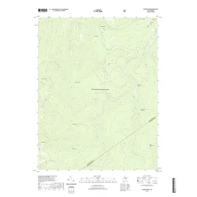
2019 Map of Snyder Knob
USGS Topo · Published 2019About this map
Monongahela National Forest dominates this high-elevation landscape, where the headwaters of several drainages carve deep hollows into the terrain. The central spine of Cheat Mtn and the prominent Snyder Knob define the rugged topography, while Shavers Fork winds through the eastern portion of the quadrangle. In the northeast corner, Fort Milroy Cem serves as a small but significant indicator of the area's pioneer and military history, situated near White Top. The map records a wilderness of ridges and runs, including Swecker Ridge and Ware Ridge, alongside named drainages like Peters Run and Lambert Run. The boundary between Randolph and Pocahontas counties cuts diagonally across the southern reaches of this forest-dominated study, illustrating the jurisdictional lines drawn through the remote high country of the Allegheny Mountains.
Find a feature on this map
30 named features on this map. Tap any name to fly to it.
Don’t see what you’re looking for? This feature index may not catch every label — zoom into the map to look around manually.
Map Details
Editions of this 2019 Snyder Knob Map
This is the sole edition of this map. No revisions or reprints were ever made.
Other maps of this area

1889 · Beverly
USGS Topo · 1:125,000

1891 · Huntersville
USGS Topo · 1:125,000

1892 · Beverly
USGS Topo · 1:125,000

1893 · Buckhannon
USGS Topo · 1:125,000

1894 · Huntersville
USGS Topo · 1:125,000

1896 · Buckhannon
USGS Topo · 1:125,000

1897 · Buckhannon
USGS Topo · 1:125,000

1901 · Monterey
USGS Topo · 1:125,000

1913 · Pickens
USGS Topo · 1:48,000

1915 · Pickens
USGS Topo · 1:62,500