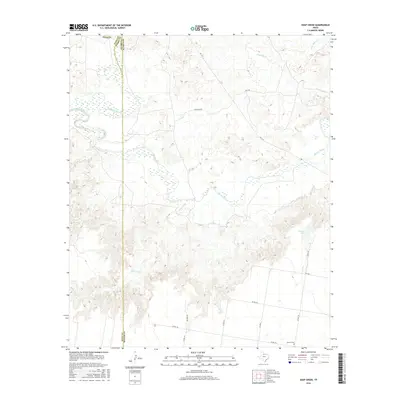
2016 Map of Soap Creek
USGS Topo · Published 2016About this map
Wichita River confluence points define the geography of this North Texas landscape, where the North Wichita River and South Wichita River merge into a singular channel. This 2016 survey captures a sparsely populated region of Knox County where rural life is organized around long-established ranch roads and river drainage systems. To the south, Henson Cem stands as a quiet marker of local genealogy near Co RD 140. The topography is shaped by the winding paths of Soap Creek and Crooked Cr, which feed into the primary river basin. Modern infrastructure, including FM 1919 and Cedar Top Rd, provides the framework for this cattle-country terrain, while Peacock Lake offers one of the few standing water features in the arid landscape away from the primary riverbeds.
Find a feature on this map
20 named features on this map. Tap any name to fly to it.
Don’t see what you’re looking for? This feature index may not catch every label — zoom into the map to look around manually.
Map Details
Editions of this 2016 Soap Creek Map
This is the sole edition of this map. No revisions or reprints were ever made.
Other maps of this area

1954 · Wichita Falls
USGS Topo · 1:250,000

1958 · Wichita Falls
USGS Topo · 1:250,000

1966 · Seymour West
USGS Topo · 1:24,000

1966 · Santa Rosa Lake SW
USGS Topo · 1:24,000

1966 · Soap Creek
USGS Topo · 1:24,000

1966 · Colwell Creek
USGS Topo · 1:24,000

1966 · Bomarton
USGS Topo · 1:24,000

1966 · Vera
USGS Topo · 1:24,000

1966 · Northwest Lake Kemp
USGS Topo · 1:24,000

1966 · Southwest Lake Kemp
USGS Topo · 1:24,000