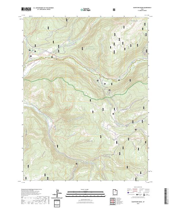
2023 Map of Soapstone Basin
USGS Topo · Published 2023About this map
Soapstone Mtn and the high drainage of the Provo River dominate this high-elevation landscape within the Uinta National Forest and Wasatch National Forest. The geography is defined by a dense network of seasonal trails and watercourses, including the North Fork Provo River and South Fork Provo River, which converge near Pine Valley. The map reveals a complex system of winter and summer recreation paths, from the Mirror Lake Snomo Groomed Trl to the Soapstone Basin Atv Trl. Historic land use is evidenced by names like Iron Mine Creek and numerous hollows such as Lambert Hollow and Log Hollow. The boundary between Summit and Wasatch counties bisects the terrain, marking a divide across the Soapstone Basin and its surrounding peaks.
Find a feature on this map
48 named features on this map. Tap any name to fly to it.
Don’t see what you’re looking for? This feature index may not catch every label — zoom into the map to look around manually.
Map Details
Editions of this 2023 Soapstone Basin Map
This is the sole edition of this map. No revisions or reprints were ever made.
Other maps of this area

1885 · Salt Lake
USGS Topo · 1:250,000

1885 · Uinta
USGS Topo · 1:250,000

1900 · Coalville
USGS Topo · 1:125,000

1901 · Hayden Peak
USGS Topo · 1:125,000

1903 · Hayden Peak
USGS Topo · 1:125,000

1903 · Coalville
USGS Topo · 1:125,000

1907 · Strawberry Valley
USGS Topo · 1:125,000

1909 · Strawberry Valley
USGS Topo · 1:125,000

1954 · Salt Lake City
USGS Topo · 1:250,000

1958 · Salt Lake City
USGS Topo · 1:250,000