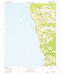
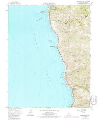
1956 Map of Soberanes Point
USGS Topo · Published 1976About this map
San Jose Y Sur Chiquito defines the coastal land grant history of this Monterey County landscape, where the Santa Lucia Range meets the Pacific. Along the shore, The California Sea Otter Game Refuge protects the waters near prominent headlands like Soberanes Point and Yankee Point. Inland, the map reveals a mid-century rural character with the Palo Colorado School and Notleys Landing serving as local focal points. The terrain is deeply incised by numerous canyons and creeks, including Garrapata Creek and Malpaso Creek, which drop from ridges like Rocky Ridge toward the sea. Traces of human activity are scattered throughout, from the Palo Corona Ranch in the north to a Trout Farm situated near the Joshua Creek drainage, illustrating the era's balance between residential settlement at Carmel Highlands and the enduring wildness of the coast.
Find a feature on this map
33 named features on this map. Tap any name to fly to it.
Don’t see what you’re looking for? This feature index may not catch every label — zoom into the map to look around manually.
Map Details
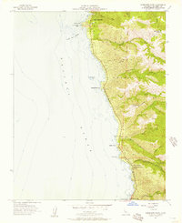
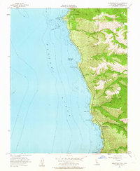
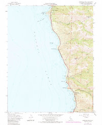
Editions of this 1956 Soberanes Point Map
5 editions found
Other maps of this area

1913 · Monterey
USGS Topo · 1:62,500

1918 · Point Sur
USGS Topo · 1:62,500

1925 · Point Sur
USGS Topo · 1:62,500

1941 · Monterey
USGS Topo · 1:62,500

1947 · Point Sur
USGS Topo · 1:62,500

1947 · Seaside
USGS Topo · 1:24,000

1947 · Monterey
USGS Topo · 1:62,500

1947 · Monterey
USGS Topo · 1:24,000

1948 · Santa Cruz
USGS Topo · 1:250,000
1948 · Seaside
USGS Topo · 1:24,000