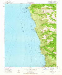
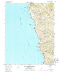
1956 Map of Soberanes Point
USGS Topo · Published 1963About this map
Carmel Highlands and the central coast of Monterey County are captured here in the mid-1950s, a period when the dramatic coastline remained largely defined by traditional landholdings and isolated landing sites. The map documents Notleys Landing and the Palo Colorado School tucked near the base of Palo Colorado Canyon, offering a look at the rural educational and maritime infrastructure of the era. The terrain is marked by steep canyons such as Garrapata Creek and Malpaso Creek, which cut through the San Jose Y Sur Chiquito land grant area.
Find a feature on this map
35 named features on this map. Tap any name to fly to it.
Don’t see what you’re looking for? This feature index may not catch every label — zoom into the map to look around manually.
Map Details
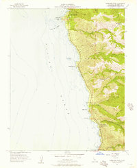
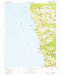
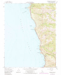
Editions of this 1956 Soberanes Point Map
5 editions found
Other maps of this area

1913 · Monterey
USGS Topo · 1:62,500

1918 · Point Sur
USGS Topo · 1:62,500

1925 · Point Sur
USGS Topo · 1:62,500

1941 · Monterey
USGS Topo · 1:62,500

1947 · Point Sur
USGS Topo · 1:62,500

1947 · Seaside
USGS Topo · 1:24,000

1947 · Monterey
USGS Topo · 1:62,500

1947 · Monterey
USGS Topo · 1:24,000

1948 · Santa Cruz
USGS Topo · 1:250,000
1948 · Seaside
USGS Topo · 1:24,000