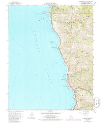
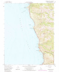
1956 Map of Soberanes Point
USGS Topo · Published 1986About this map
Notleys Landing and the Palo Colorado School anchor the southern coastal stretch of this Monterey County survey, reflecting the sparse but established settlement along the Pacific before major mid-century developments. The landscape is defined by deep coastal canyons such as Palo Colorado Canyon and Wildcat Canyon, where steep drainage systems meet the rocky shoreline. Much of the coastline is protected within The California Sea Otter Game Refuge, a designation that highlights the region's environmental preservation efforts during the 1950s. Farther north, the residential clustering of Carmel Highlands contrasts with the large landholdings of the interior, such as Palo Corona Ranch. Historical transit through this difficult terrain is marked by the San Jose Trail and the winding path of Portuguese Ridge, providing a look at the infrastructure that preceded modern access to these coastal bluffs.
Find a feature on this map
42 named features on this map. Tap any name to fly to it.
Don’t see what you’re looking for? This feature index may not catch every label — zoom into the map to look around manually.
Map Details
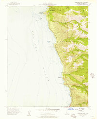
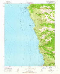
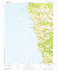
Editions of this 1956 Soberanes Point Map
5 editions found
Other maps of this area

1913 · Monterey
USGS Topo · 1:62,500

1918 · Point Sur
USGS Topo · 1:62,500

1925 · Point Sur
USGS Topo · 1:62,500

1941 · Monterey
USGS Topo · 1:62,500

1947 · Point Sur
USGS Topo · 1:62,500

1947 · Seaside
USGS Topo · 1:24,000

1947 · Monterey
USGS Topo · 1:62,500

1947 · Monterey
USGS Topo · 1:24,000

1948 · Santa Cruz
USGS Topo · 1:250,000
1948 · Seaside
USGS Topo · 1:24,000