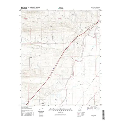
2017 Map of Social Hill
USGS Topo · Published 2017About this map
The Ouachita River winds through this landscape near the community of Social Hill, marking a corridor of historical transit and settlement. To the west, the terrain rises toward Shinn Mtn and Easely Mtn, while the southern reaches center on the crossroads at Midway. The presence of several family or community burial grounds, such as Alford Cem, Lone Hill Cem, and Ward Cem, offers significant research value for those tracing local lineages in this part of Hot Spring County. Transportation patterns are anchored by the Old Military Rd and the Antioch Rd, which connect the small clusters of Antioch and Saginaw. The network of creeks, including Blakely Cr and DeLisle Cr, defines the drainage of these hills and flats, while Drowning Slough persists as a notable local landmark along the river's eastern banks.
Find a feature on this map
82 named features on this map. Tap any name to fly to it.
Don’t see what you’re looking for? This feature index may not catch every label — zoom into the map to look around manually.
Map Details
Editions of this 2017 Social Hill Map
This is the sole edition of this map. No revisions or reprints were ever made.
Other maps of this area

1948 · Malvern
USGS Topo · 1:62,500

1949 · Malvern
USGS Topo · 1:62,500

1955 · Little Rock
USGS Topo · 1:250,000

1956 · Little Rock
USGS Topo · 1:250,000

1959 · Caddo Valley
USGS Topo · 1:24,000

1960 · Little Rock
USGS Topo · 1:250,000

1964 · Little Rock
USGS Topo · 1:250,000

1964 · Donaldson
USGS Topo · 1:24,000

1965 · Round Hill
USGS Topo · 1:24,000

1966 · De Roche
USGS Topo · 1:24,000