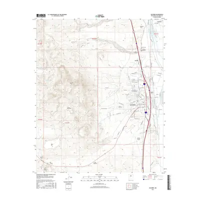
2017 Map of Socorro
USGS Topo · Published 2017About this map
The Socorro townsite and the New Mexico Institute of Mining and Technology anchor the eastern edge of this landscape, where the urban grid meets the high desert. To the west, the Socorro Mountains rise sharply, culminating at Socorro Peak and Black Mtn, cut by deep drainages like Sixmile Canyon and Box Canyon. This juxtaposition of university-town life and the high peaks is bridged by several springs, including Socorro Spring and Sedillo Spring, which hint at the groundwater resources that have sustained this valley for generations.
Find a feature on this map
102 named features on this map. Tap any name to fly to it.
Don’t see what you’re looking for? This feature index may not catch every label — zoom into the map to look around manually.
Map Details
Editions of this 2017 Socorro Map
This is the sole edition of this map. No revisions or reprints were ever made.
Other maps of this area

1906 · Socorro
USGS Topo · 1:62,500

1916 · La Joya
USGS Topo · 1:125,000

1948 · San Antonio
USGS Topo · 1:62,500

1954 · Tularosa
USGS Topo · 1:250,000

1954 · Socorro
USGS Topo · 1:250,000

1958 · Socorro
USGS Topo · 1:250,000

1958 · Tularosa
USGS Topo · 1:250,000

1959 · Loma De Las Canas
USGS Topo · 1:24,000

1959 · Socorro
USGS Topo · 1:24,000

1959 · Mesa Del Yeso
USGS Topo · 1:24,000