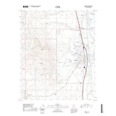
2020 Map of Socorro
USGS Topo · Published 2020About this map
The Socorro city center serves as a hub of civic and academic life on this modern survey, anchored by the Socorro County Courthouse and the extensive campus of the New Mexico Institute of Mining and Technology. To the west, the landscape rises sharply into the Socorro Mountains, dominated by the prominent Socorro Peak. This western reach is characterized by high-elevation springs such as Ojitos Spring and Domingo Spring, while the eastern valley floor is defined by a complex irrigation network including the Rio Grande Main Conveyance Channel, Florida Lateral, and Green Ditch.
Find a feature on this map
115 named features on this map. Tap any name to fly to it.
Don’t see what you’re looking for? This feature index may not catch every label — zoom into the map to look around manually.
Map Details
Editions of this 2020 Socorro Map
This is the sole edition of this map. No revisions or reprints were ever made.
Other maps of this area

1906 · Socorro
USGS Topo · 1:62,500

1916 · La Joya
USGS Topo · 1:125,000

1948 · San Antonio
USGS Topo · 1:62,500

1954 · Tularosa
USGS Topo · 1:250,000

1954 · Socorro
USGS Topo · 1:250,000

1958 · Socorro
USGS Topo · 1:250,000

1958 · Tularosa
USGS Topo · 1:250,000

1959 · Loma De Las Canas
USGS Topo · 1:24,000

1959 · Socorro
USGS Topo · 1:24,000

1959 · Mesa Del Yeso
USGS Topo · 1:24,000