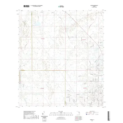
2021 Map of Socrum
USGS Topo · Published 2021About this map
The settlement of Socrum serves as a focal point for this 2021 study, where the borders of Pasco, Hillsborough, and Polk counties meet in a landscape defined by complex water systems. This modern survey details the headwaters and drainage patterns of the Hillsborough River and its tributaries, including the winding Blackwater Cr and Itchepackesassa Cr. The prevalence of named water bodies like Indian Lake and Avenue Pond highlights the region's low-lying hydrology, further evidenced by man-made alterations such as the Big Ditch.
Find a feature on this map
87 named features on this map. Tap any name to fly to it.
Don’t see what you’re looking for? This feature index may not catch every label — zoom into the map to look around manually.
Map Details
Editions of this 2021 Socrum Map
This is the sole edition of this map. No revisions or reprints were ever made.
Other maps of this area

1944 · Plant City
USGS Topo · 1:31,680

1944 · Providence
USGS Topo · 1:31,680

1944 · Lakeland
USGS Topo · 1:31,680

1944 · Antioch
USGS Topo · 1:31,680

1944 · Socrum
USGS Topo · 1:31,680

1947 · Zephyrhills
USGS Topo · 1:24,000

1955 · Plant City
USGS Topo · 1:250,000

1955 · Orlando
USGS Topo · 1:250,000

1957 · Orlando
USGS Topo · 1:250,000

1958 · Orlando
USGS Topo · 1:250,000