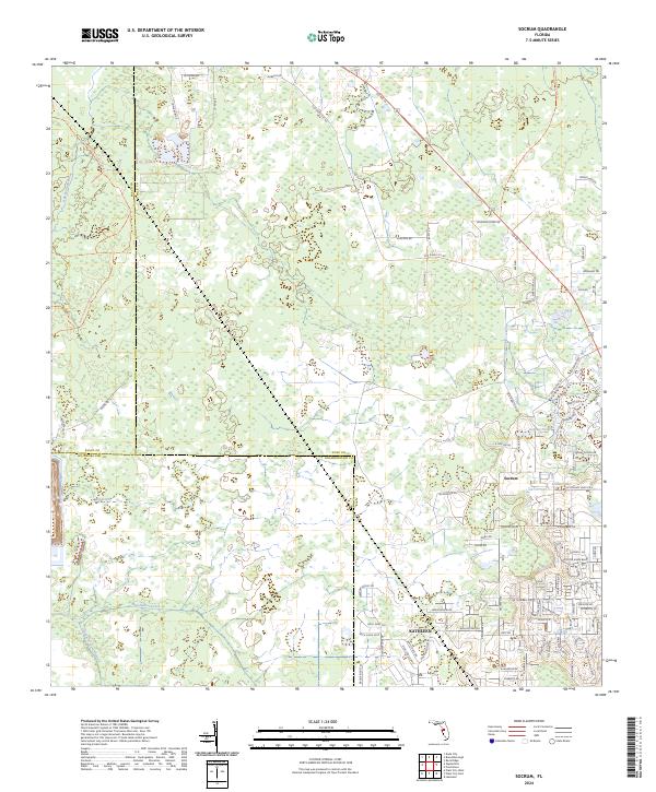
2024 Map of Socrum
USGS Topo · Published 2024About this map
Socrum and Kathleen anchor the southeastern portion of this landscape where the boundaries of Pasco, Polk, and Hillsborough counties meet. The area is defined by its complex drainage network, characterized by the winding headwaters of the Hillsborough River and the northward-flowing Itchepackesassa Creek. These watercourses, along with Blackwater Creek, navigate a terrain marked by numerous wetlands and small basins such as Indian Lake and Avenue Pond.
Find a feature on this map
85 named features on this map. Tap any name to fly to it.
Don’t see what you’re looking for? This feature index may not catch every label — zoom into the map to look around manually.
Map Details
Editions of this 2024 Socrum Map
This is the sole edition of this map. No revisions or reprints were ever made.
Other maps of this area

1944 · Plant City
USGS Topo · 1:31,680

1944 · Providence
USGS Topo · 1:31,680

1944 · Lakeland
USGS Topo · 1:31,680

1944 · Antioch
USGS Topo · 1:31,680

1944 · Socrum
USGS Topo · 1:31,680

1947 · Zephyrhills
USGS Topo · 1:24,000

1955 · Plant City
USGS Topo · 1:250,000

1955 · Orlando
USGS Topo · 1:250,000

1957 · Orlando
USGS Topo · 1:250,000

1958 · Orlando
USGS Topo · 1:250,000