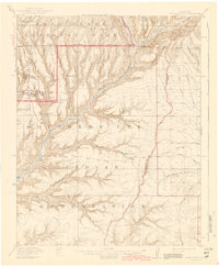
1915 Map of Soda Canyon
USGS Topo · Published 1943About this map
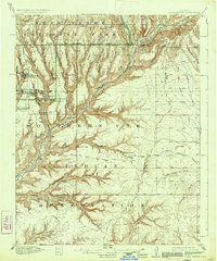
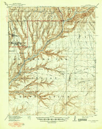
Mesa Verde National Park is defined here by its complex topography of elevated mesas and deep drainage systems, including Soda Canyon and Moccasin Canyon. Surveyed in the early 1910s, this map captures the region's archaeology at a critical period of identification, documenting the precise locations of the Cliff Palace, Sun Temple, and Balcony House. The Southern Ute Indian Reservation occupies the southern half of the sheet, where the Mancos River cuts through the terrain. The map reflects a landscape of early 20th-century exploration, noting sparse improvements such as the Waters Ranch and the established Government Road. Beyond the major ruins, smaller sites like Casa Colorado, Swallows Nest, and the Double Walled Tower are marked, providing a dense record of ancestral dwellings and towers as they were recorded by R.W. Berry and C.A. Ecklund.
Find a feature on this map
66 named features on this map. Tap any name to fly to it.
Don’t see what you’re looking for? This feature index may not catch every label — zoom into the map to look around manually.
Map Details
Editions of this 1915 Soda Canyon Map
7 editions found
Other maps of this area

1889 · Chaco
USGS Topo · 1:250,000

1892 · Chaco
USGS Topo · 1:250,000

1895 · La Plata
USGS Topo · 1:62,500

1897 · La Plata
USGS Topo · 1:62,500

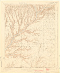
1899 · La Plata
USGS Topo · 1:62,500

1908 · La Plata
USGS Topo · 1:62,500

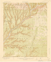
1912 · Soda Canyon
USGS Topo · 1:62,500

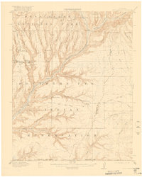
1913 · Red Mesa
USGS Topo · 1:62,500

1915 · Soda Canyon
USGS Topo · 1:62,500

1934 · Chimney Rock
USGS Topo · 1:62,500